

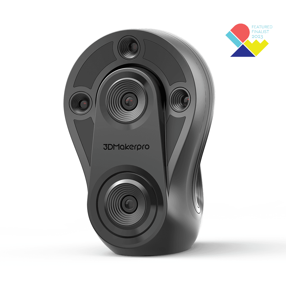
 In stock
3DMakerpro
Whale 3D Scanner
The details make the difference. Check the fit before you order.
3 options available
From £5,471.24
The details make the difference. Check the fit before you order.
 1 / 8
1 / 8SKU 3DM-EAGLE-01
Delivery in 5–7 days.
Choose your options. The price updates as you go.
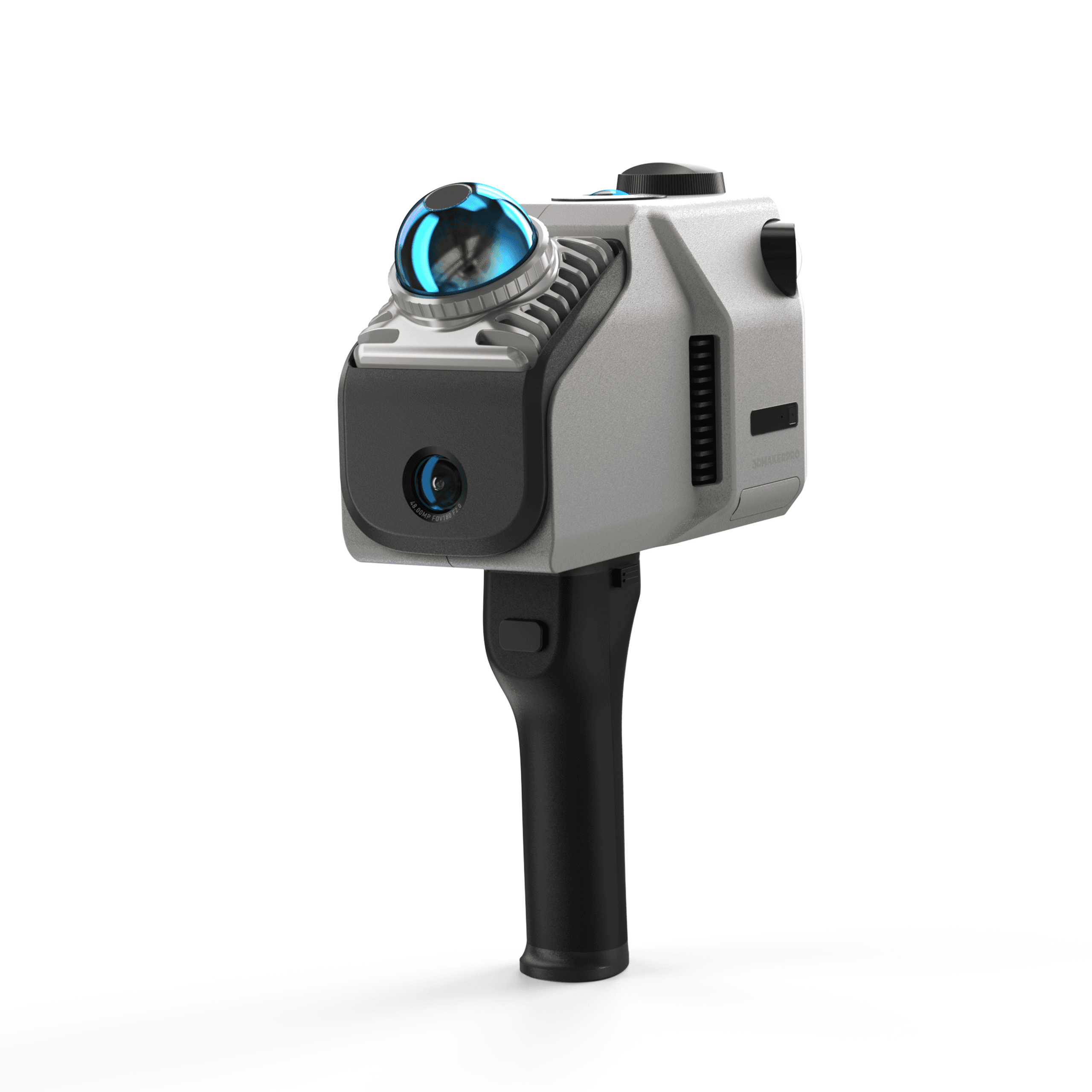
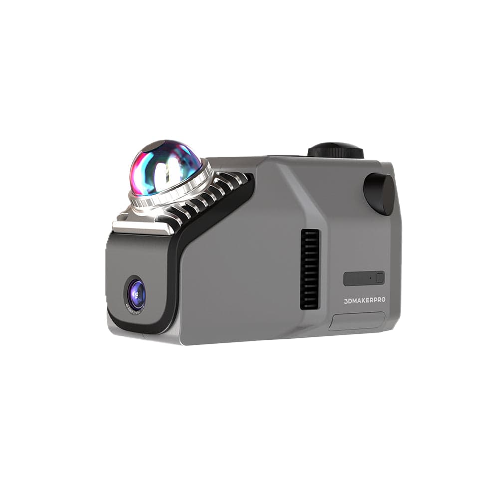
8K HDR Imaging SLAM Technology Up to 2cm Accuracy Scan ranges from 80m to 140m Eagle LiDAR, a handheld, all-in-one 3D scanner renowned for its ultra-high precision. This advanced device combines cutting-edge SLAM technology with GPS capabilities, enabling it to seamlessly collect data in complex indoor and outdoor environments. With the ability to generate accurate and ultra-clear panoramic images, the Eagle LiDAR is perfectly designed for applications in design, mapping, and a variety of other industries.
Eagle LiDAR Scanner · Fabinity guide to 3DMakerpro features.
Eagle LiDAR Scanner demo capturing large outdoor ruins and turning real-world landscapes into accurate 3D data.

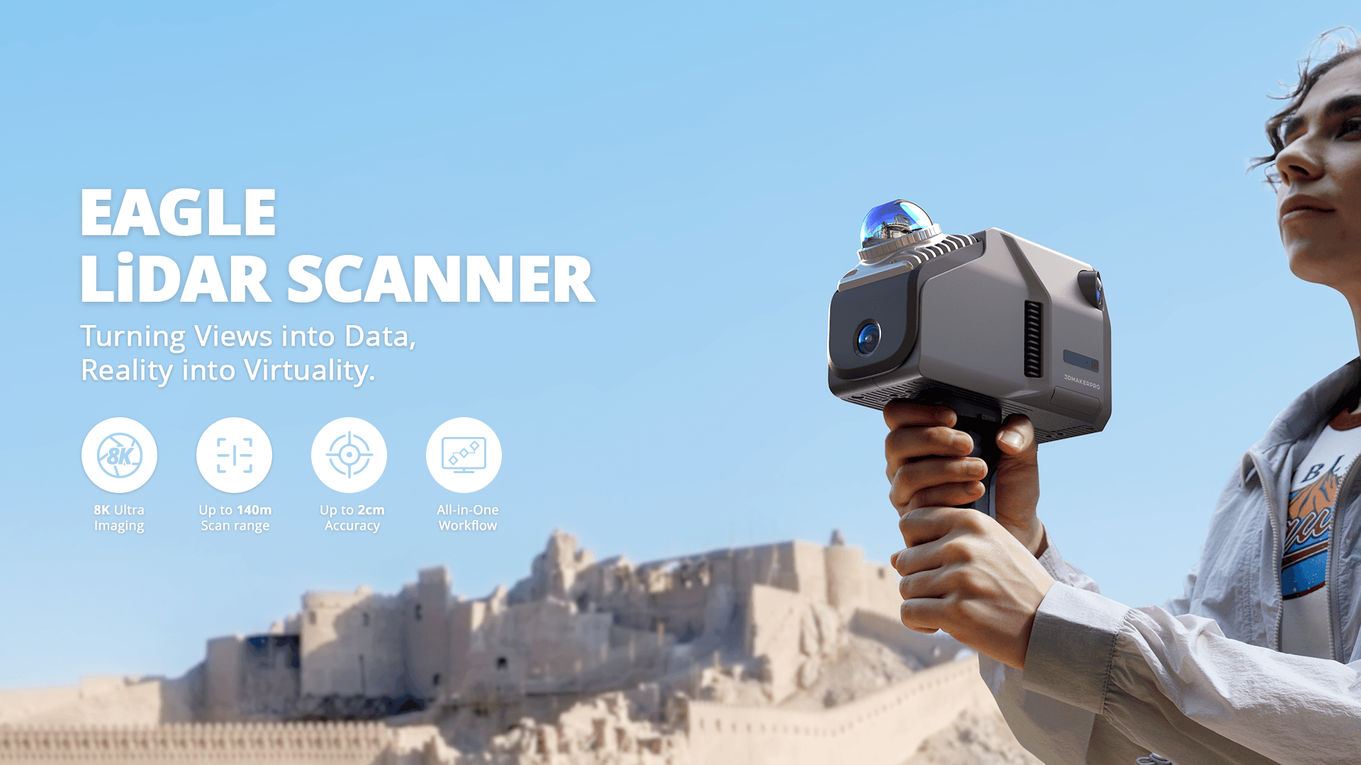
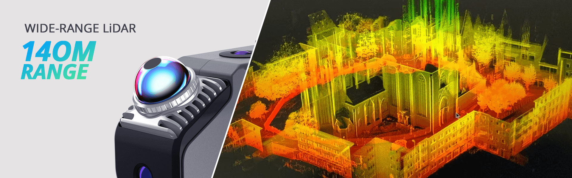
Large-Scale Precision. Professional 3D Mapping. Eagle is a high-performance handheld LiDAR scanner designed for large-scale 3D scanning and environmental mapping. Combining long-range LiDAR, high-resolution imaging, and an intuitive workflow, Eagle delivers accurate 3D data both indoors and outdoors. From architecture and construction to film and virtual exhibitions, it provides a fast, seamless path from real-world capture to high-fidelity digital twins. Learn More Capture Every Detail with Confidence Powered by advanced long-range LiDAR technology and high-density point cloud acquisition, Eagle captures complex structures and expansive spaces with millimeter-level precision. From architectural facades to intricate interiors, every detail is recorded with stunning clarity. Built for Professional Workflows Optimized for surveying, construction, architecture, and digital twin production, Eagle enables fast on-site data capture and seamless 3D modeling. Its integrated workflow ensures smooth transitions from field scanning to data processing, greatly improving efficiency and accuracy in every stage. 140M LiDAR Range“Long-range LiDAR scanning for large-scale structures.” 8K Imaging “High-resolution 48MP camera ensures detailed 3D color mapping.” Live Preview “Real-time 3D visualization via built-in 3.5'' screen.”
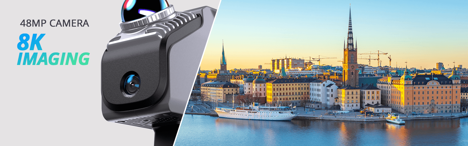

HDR High Accuracy : 2cm @ 10m / 5cm @ 40m Wide Scan Angle (Fov): Horizontal 360°;Vertical 59° HDR Photography: 3-5 exposure levels supported All-in-One Solution: Edit, model, survey, 3D tours, Gaussian splatting Flexible Mounting: Vehicle, tripod, and drone compatible Cloud Support: Onlineplatform for easy sharing



Eagle comes with up to four 48MP high-resolution cameras, enabling the creation of highly detailed 3D worlds, making it ideal for applications like film production, game development, and virtual exhibitions. 70 M SCANNING RADIUS Provides a scanning radius of up to 70 meters under 80% reflectivity conditions. 2 CM ACCURACY Achieves scanning accuracy of up to 2CM at a 10-meter distance.
Eagle LiDAR point cloud demo showing detailed scans of subway stairs, an indoor living room, and an outdoor plaza.

Eagle's advanced LiDAR engine enables ultra-fast, wide-area spatial capture. From buildings to entire streets, achieve professional-grade 3D modeling in minutes.
Eagle scanner graphic illustrating its ultra-wide 360°x59° field of view efficiently capturing a full room point cloud.

Eagle's LiDAR features a field of view of 360°×59°, providing 30% more coverage than standard products on the market. A single, simple rotation is all it takes to fully capture an entire room.
Eagle comes with up to four 48MP high-resolution cameras, enabling the creation of highly detailed 3D worlds, making it ideal for applications like film production, game development, and virtual exhibitions. 48 MP CAMERA Delivers 48MP fisheye detail - 4 cameras on MAX, 1 on Standard. 8K HDR IMAGING Outputs 8K HDR imaging for vivid colors and dynamic range.
Video showing a highly realistic 3D European town square and statue generated by Eagle's 3D Gaussian Splatting.

Eagle transforms captured photos into Gaussian distributions to generate highly realistic 3D scenes. The accompanying software creates high-quality Gaussian-Splatting 3D content, compatible with Unreal Engine, allowing for the rapid construction of premium 3D environments.
Eagle video demonstrating an immersive 8K HDR panoramic virtual tour inside a modern furniture showroom.
Eagle supports pinpoint 8K HDR imaging, delivering stunning light effects and intricate texture details. Create immersive panoramic tours that make your audience feel like they’re truly there.
Eagle is a fully integrated LiDAR 3D scanner that’s ready to use right out of the box. It delivers real-time point cloud visualization, supports multi-platform operation, and adapts effortlessly to drones, vehicles, and handheld systems - making it the ultimate 3D scanning solution for professional reality capture.
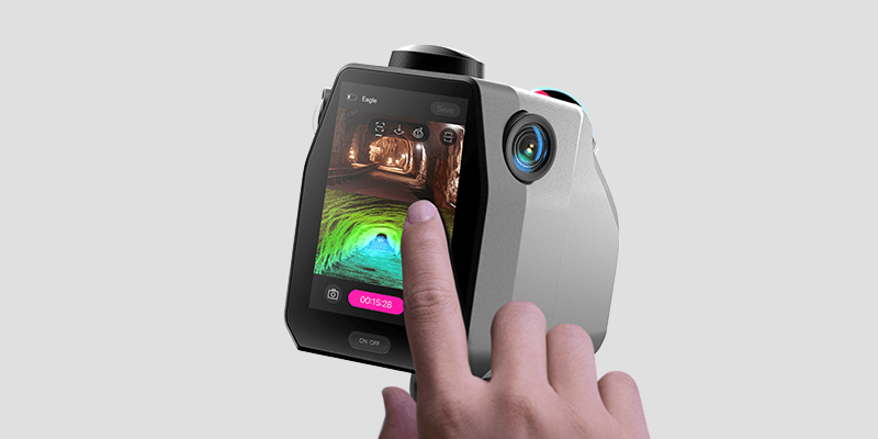
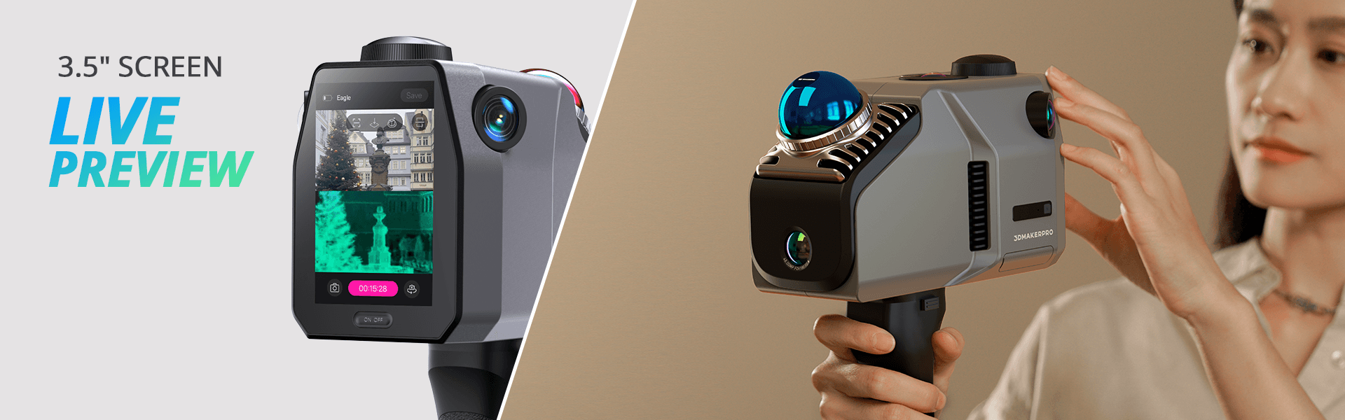
No complex calibration is required, saving up to 50% of preparation time compared to traditional devices. On-Site Review Operations Equipped with a 3.5-inch screen, Eagle offers three real-time display modes during data collection: point cloud, photos, or split-screen point cloud/photos. After collection, users can instantly review point cloud projects, GPS trajectories, and photos. Adaptable to Various Platforms and Vehicles Eagle collects up to 200,000 points per second, maintaining data quality even at speeds of 20km/h, meeting the needs of dynamic operations across various vehicles.
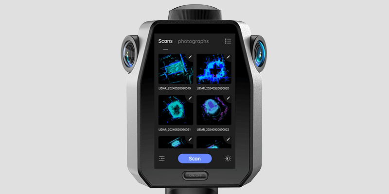
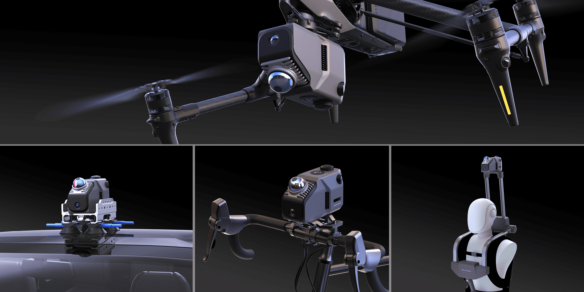

Eagle LiDAR 3D Scanner connects hardware and software in one seamless 3D scanning workflow - from LiDAR data capture to 3D model creation. The companion reality capture software enables real-time point cloud processing, editing, and export to popular platforms such as Revit, Unreal Engine, and Blender.Whether for architectural surveying, film production, or virtual exhibitions, Eagle delivers a streamlined experience from scan to presentation.
3D Digital Space JIMUMETA allows you to upload and manage your panoramic tours and Gaussian Splatting projects seamlessly. Enjoy both free and commercial service options. 2 Active Spaces Price: Freenote: sharing is allowed but with a watermark. 10 Active Spaces 100 Active Spaces Business Speak with Prusa's agent for a customized plan
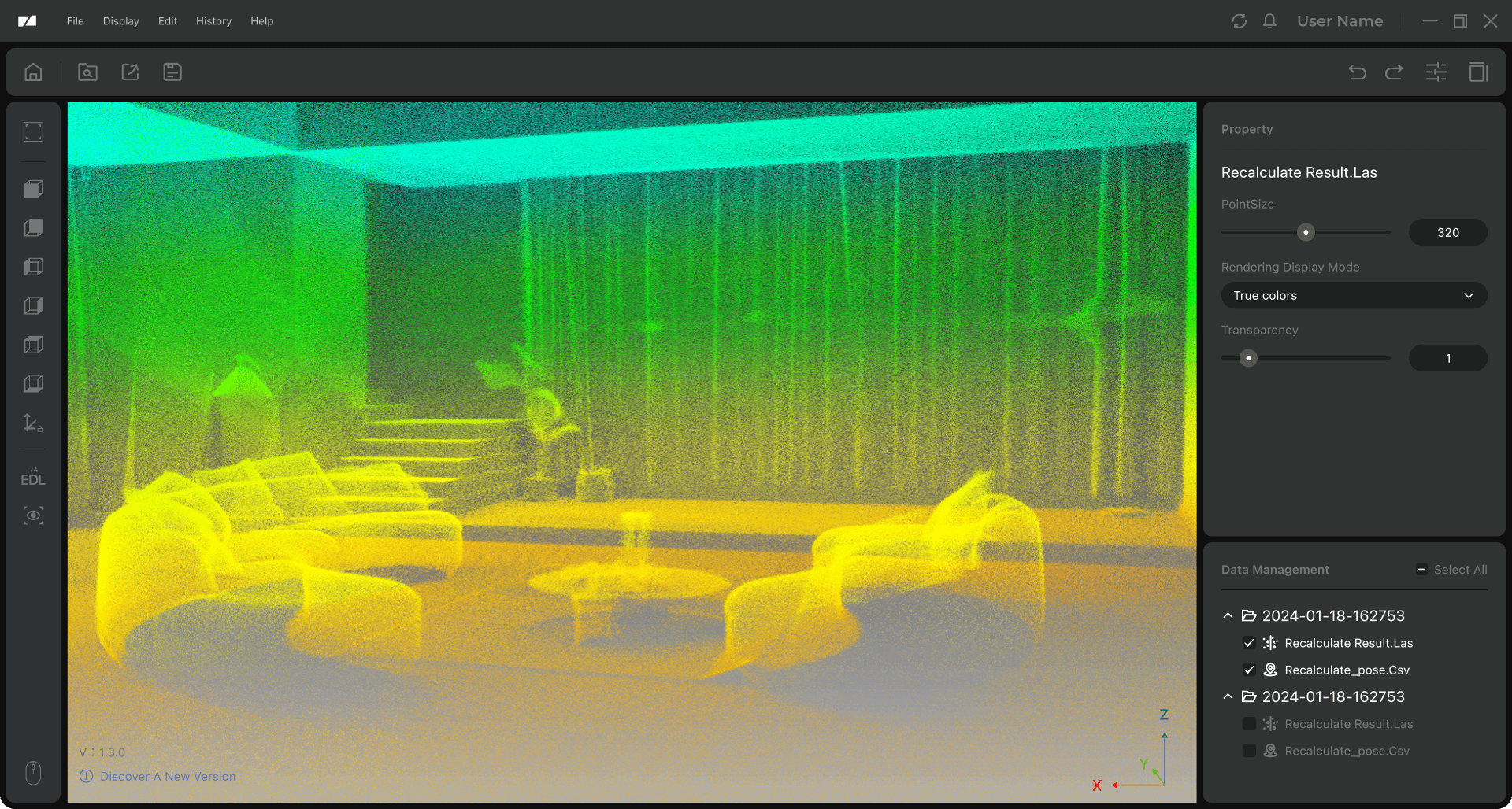
Eagle's companion post-processing software allows users to edit and refine point cloud data effortlessly. Export in multiple formats including PLY, OBJ, and Gaussian Splatting PLY - all free for non-commercial visual sharing. Simplify your workflow from raw scan to final model with intuitive editing tools.
Eagle’s AI-driven denoise tool in action, instantly cleaning up a 3D bridge scan for precise point cloud results.
Eagle optimization tool refining raw point cloud data for sharper, professional-grade 3D surface accuracy.
AI-Powered Denoising for Clean Point Clouds Remove unwanted noise from your scans with a single click. Eagle's AI-driven point cloud denoise algorithm delivers cleaner results, streamlines post-processing, and improves overall scanning efficiency. Algorithmic Optimization for Precision Modeling Using advanced point cloud optimization algorithms, Eagle automatically refines data density and surface accuracy, ensuring every 3D reconstruction achieves professional-grade precision.
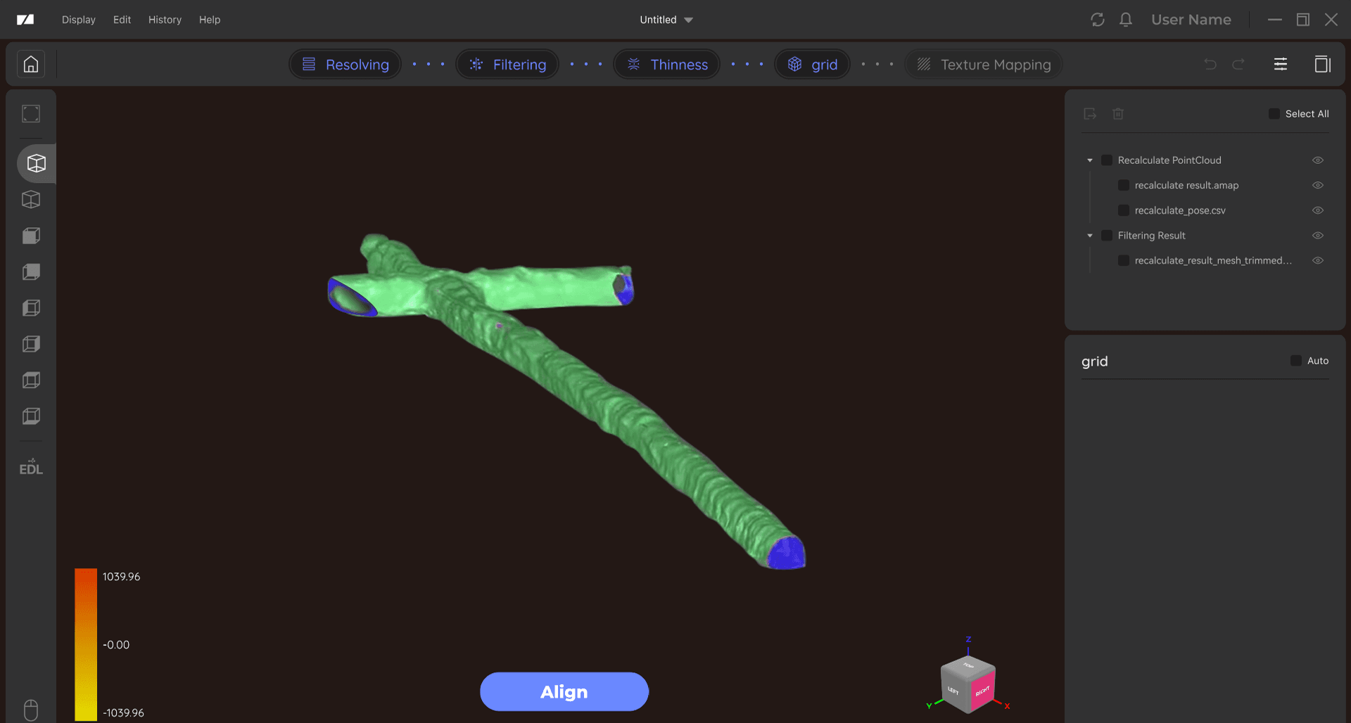
Eagle includes a dedicated 3D modeling and measurement tool, designed to transform point cloud data into accurate mesh structures. The free plan covers all essential features for beginners and professionals alike.
2cm@10m; 3cm@20m; 5cm@40m
40–70m (measured at >10% or >80% reflectivity)
80–140m
Horizontal 360°, Vertical 59°
200,000 points/second
905nm
Class 1 (IEC60825-1:2014)
Supports 3–5 EV
Max Edition:4×48MP fisheye cameras;Standard Edition:1×48MP fisheye camera
8K Panoramic Color Output
USB-Type C ×2
Wi-Fi5
3.5"
3D Color Point Cloud (PLY); 3D Gaussian Splatting (PLY); 3D Colored Polygonal Model (OBJ); 3D Panoramic Tour Data (OBJ)
12,000mAh (supports 1 hour of work; external power supply supported)
115 × 181 × 106 mm
1.5 kg
8 Cores @ 2.4GHz, 32GB (TF card expansion supported)
Processor: Intel Core i7Memory: 64GB RAMGraphics Card: NVIDIA RTX 4060, 16GB VRAMSystem Requirements: Windows 11+ (Incompatible with macOS)
Processor: Intel Core i7Memory: 32GB RAMGraphics Card: NVIDIA RTX 3060, 12GB VRAMNote: Gaussian Splatting is only supported on NVIDIA GPUs.System Requirements: Windows 11+ (Incompatible with macOS)
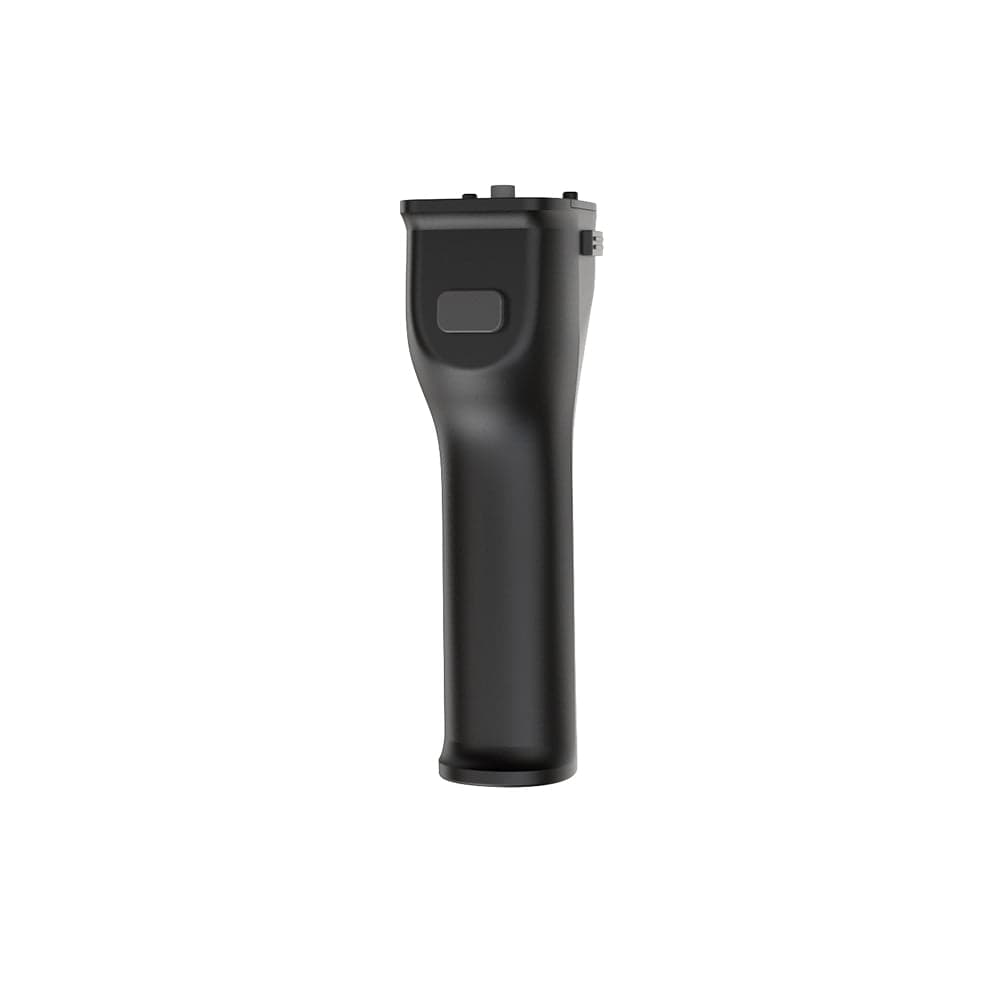
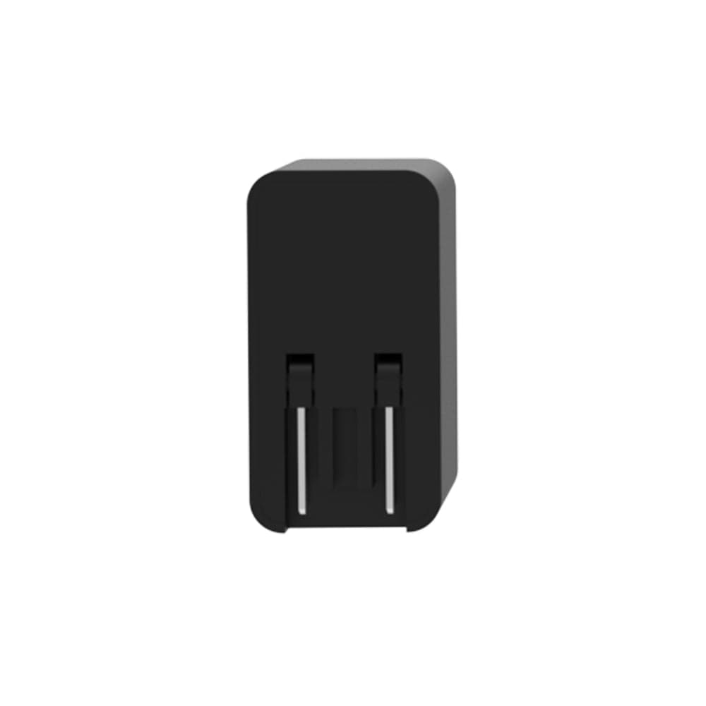
The details that matter
Manufacturer figures, with plain-English notes where useful.
24 specifications
No, administrator privileges are required to install and run RayStudio.
No professional training is needed. Prusa provides a detailed tutorial for beginners. Although spatial scanning is slightly more complex than object scanning, following the tutorial and practicing will help you master it quickly.
The Eagle offers an 80–140m scanning range versus the typical 20–100m range of competitors, and it captures 200,000 points per second compared to around 100,000 points in many models. Eagle Max features four 48MP HD cameras for stunning 8K HDR panoramic imaging, whereas most scanners use one or two 16MP HD cameras. These advanced features make the Eagle superior for high-quality, detailed scanning.
Eagle supports multiple formats: 3D Color Point Cloud (PLY), 3D Gaussian Splatting (PLY), 3D Colored Polygonal Model (OBJ), and 3D Panoramic Tour Data (OBJ).
Yes. You can add a 45W portable power supply, external brackets for various carriers, a GPS module, a USB flash drive expansion, and other official accessories to enhance scanning functionality.
Currently, the software supports Windows 11 only.
Yes. The laser meets Class 1 standards (IEC60825-1:2014) and is safe for the human eye. However, avoid prolonged direct exposure.
Eagle is ideal for architecture & engineering, real estate & interior design, film & television production, game development, cultural heritage preservation, surveying, mapping, and more.
RTK (Real Time Kinematic) is a dynamic measurement technology that utilizes carrier phase observation for real-time differential GPS (RTDGPS). It consists of a base station receiver, a data link, and a rover receiver, typically using dual-frequency signals from satellite systems like GPS, GLONASS, Galileo, and Compass. Prusa's RTK Antenna & Signal Module enhances positioning accuracy through real-time differential correction, achieving absolute accuracy of point clouds within 1-3 cm. This accessory requires a base station and can be calibrated using wireless communication on the L1 channel (1575.42 MHz) and the L2 channel (1227.60 MHz).
Once the Eagle has been shipped, it will no longer be possible to add the RTK Antenna & Signal Module. Please ensure all desired components are included before shipment.
Ask about compatibility, the right configuration, or delivery for this product.
In stock3DMakerpro
The details make the difference. Check the fit before you order.
3 options available
From £5,471.24
 Out of stock
3DMakerpro
The details make the difference. Check the fit before you order.
3 options available
From £493.24
 Out of stock
3DMakerpro
The details make the difference. Check the fit before you order.
18 options available
From £348.84
 In stock
3DMakerpro
The details make the difference. Check the fit before you order.
£371.64
£500 to go for free delivery
£500 inc. VATYour cart is empty
Add a printer, materials or spares and they will appear here.